DotSoft C3DTools v8.0.1.5
مجموعة أدوات لعمل الخرائط على برامج الهدسة المدنية Civil/Survey ونظم المعلومات الجغرافية GIS
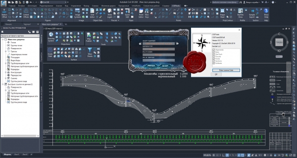
C3DTools is a collection of Civil/Survey Mapping & GIS tools specifically for Civil3D (2015 & Higher). It is a modular system covering the major areas of alignments, design, geotech, parcels, points, sections, surfaces, and more.
11.8MB
http://s18.alxa.net/001/002/DotSoft...s.v8.0.1.5.rar
مجموعة أدوات لعمل الخرائط على برامج الهدسة المدنية Civil/Survey ونظم المعلومات الجغرافية GIS
C3DTools is a collection of Civil/Survey Mapping & GIS tools specifically for Civil3D (2015 & Higher). It is a modular system covering the major areas of alignments, design, geotech, parcels, points, sections, surfaces, and more.
11.8MB
http://s18.alxa.net/001/002/DotSoft...s.v8.0.1.5.rar

