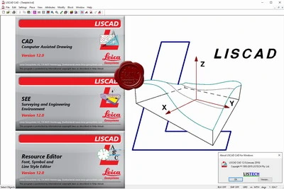
Leica LISCAD v12.0
Leica LISCAD program is designed for surveyors and prospectors to process the raw data and results in the desired form. The software is used for further processing of geodetic measurements obtained during field work with instruments of most famous manufacturers in the first place Leica Geosystems. These all surveying instruments can be very easily imported and converted to the final report materials

78.7MB
Download
*
