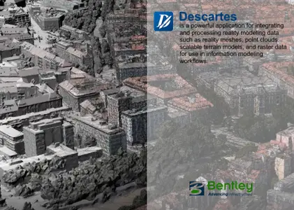
Bentley Descartes V8i SS5 08.11.09.601
Bentley Descartes is a software product that integrates fundamental data types into information modeling workflows. These fundamental data types include point clouds, scalable digital terrain models, and raster files. Bentley Descartes is also used for the processing of legacy documentation including vector-to-raster and raster-to-vector conversion.

In all infrastructure projects, engineers need to process fundamental data types for downstream use and to process legacy documentation – Bentley Descartes makes all this straightforward and intuitive both in its stand-alone mode (with all the information modeling functionality of MicroStation) and as an extension to MicroStation and MicroStation-based design applications.
Bentley Descartes provides infrastructure professionals with:
- Advanced point-cloud data processing.
- Manipulation of scalable digital terrain models (DTMs).
- Advanced raster processing.
- Processing of legacy documentation.
Bentley Descartes users can also manage their files in ProjectWise. This has the benefit of decreasing the risk of mismanagement and misuse of data and helping to maintain document integrity. Bentley Descartes can also be used with ProjectWise Point-cloud Services so that point clouds can be streamed in part or in whole into Bentley Descartes sessions
1.05GB
Download
*

