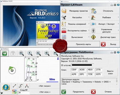
MicroSurvey FieldGenius v9.0.20.3
MicroSurvey FieldGenius effective and easy to use software for the collection of field survey data.

MicroSurvey Field Genius supports most existing satellite receivers, conventional and robotic total stations. The software has an intuitive and user-friendly interface. MicroSurvey FieldGenius interface allows you to instantly jump to any desired function: shooting, broken lines and other frequently used operations. Customizable toolbar to control GNSS receivers and total stations provide instant access to essential functions.
In addition to the standard set of functions MicroSurvey Field Genius offers users with effective tools for:
of road construction
processing surfaces
breaking down slopes
support "smart" points
import / export of DXF and LandXML files.
With the support of LandXML You can bind a breakdown of projected lines with DSM, and the construction of surfaces in real-time tools allow you to quickly calculate amounts.
MicroSurvey FieldGenius trim levels offered in Standard and Premium. Standart Components can be supplemented by specialized modules:
Advanced module for working with surfaces and calculating volumes
Robotics a module for use with robotic total stations
GPS module for satellite receivers.
Options Premium includes all of the modules
