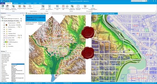
Pitney Bowes MapInfo Pro v17.0.5 Release Build 9 Multilingual
MapInfo Professional is a geographic information system designed for collecting, storing, displaying, editing and analyzing spatial data. The application is designed for cartography and geographic analysis. Visualizing the links between data and geography opens up completely new possibilities, turning data into valuable information. The MapInfo Professional toolkit for creating and editing graphic and tabular data allows you to quickly and conveniently make changes both on maps and in semantic data. MapInfo Professional easily integrates into any information system, a user-friendly interface allows you to quickly adapt and begin to fully use the functionality of even a new user.

2.21GB
Download
http://s6.alxa.net/one/2021/05/Pitne...ro.v17.0.5.rar
MapInfo Professional is a geographic information system designed for collecting, storing, displaying, editing and analyzing spatial data. The application is designed for cartography and geographic analysis. Visualizing the links between data and geography opens up completely new possibilities, turning data into valuable information. The MapInfo Professional toolkit for creating and editing graphic and tabular data allows you to quickly and conveniently make changes both on maps and in semantic data. MapInfo Professional easily integrates into any information system, a user-friendly interface allows you to quickly adapt and begin to fully use the functionality of even a new user.

2.21GB
Download
http://s6.alxa.net/one/2021/05/Pitne...ro.v17.0.5.rar
