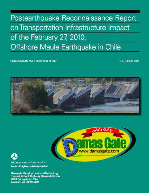
Post-Earthquake Reconnaissance Report on Transportation Infrastructure

CHAPTER 1. INTRODUCTION
1.1 BACKGROUND Over the course of the last century, Chile has experienced several strong earthquakes. According
to the United States Geological Survey (USGS), M8.2 earthquakes struck the nation in 1906, 1943, and 1960, and an M8.0 earthquake hit in 1985. The M8.2 earthquake in 1960 was a foreshock that occurred the day before the largest earthquake ever recorded, the M9.5 Chilean earthquake. The offshore Maule earthquake on February 27, 2010, was measured at M8.8 and lasted more than 2 min. It is estimated that this earthquake was approximately 500 times more powerful than the earthquake that devastated Haiti in January 2010. Several aftershocks, including nine events with a magnitude exceeding 6.0, occurred in the days following the Chilean earthquake.
The M8.8 event is the fifth largest earthquake recorded in modern times and was characterized by its long duration and strong ground motion, which also caused tsunamis across the region. Many bridges and tunnels constructed with seismic design codes similar to the 1983 U.S. and European codes were damaged in the earthquake.
Because of the size of the event, the intensity of the ground shaking, the geological similarity of the Maule region and the Northwestern United States (e.g., Washington and Oregon’s subduction zones), and the comparable nature of the infrastructure construction and seismic design codes used, the performance of transportation infrastructure during this earthquake provided valuable lessons in earthquake engineering. In March 2010, the Federal Highway Administration (FHWA) contacted Chile’s Ministry of Public Works (MOP) and worked with University Transportation Center, Washington State Department of Transportation, University of Nevada, and Missouri University of Science and Technology to organize the transportation infrastructure reconnaissance team (TIRT). TIRT and a member of the Earthquake Engineering Research Institute (EERI) were dispatched to Chile on April 3 to perform a comprehensive earthquake reconnaissance. TIRT was supported by local bridge engineers from MOP and local researchers from Pontifical Catholic University of Chile and the University of Chile.
TIRT visited more than 32 transportation infrastructure sites, including highway bridges and port facilities from Santiago down to Tubul, a small city near Concepción. The specific locations visited are shown in figure 1 and listed in table 1 with site names, Global Positioning System (GPS) coordinates, and city and county names.
Download
*