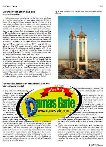
Foundation design for the Emirates Twin Towers Dubai

Ground investigation and site
characterization
Preliminary geotechnical data for the site were available
from earlier investigations via a series of boreholes drilled to
about 15 m depth. These revealed layers of sand or silty
sand overlying very weak to weak sandstone. For the twin
tower development, it was clear that this preliminary infor
mation
was inadequate; hence, a comprehensive investiga
tion
was carried out. This investigation involved the drilling
of 23 boreholes to a maximum depth of about 80 m. The
deepest boreholes were located below the tower footprints;
boreholes below the low-rise areas tended to be considerably
shallower. Standard penetration tests (SPTs) were carried out
at nominal 1 m depths in the upper6mofeach borehole and
then at 1.5 m intervals, until an SPT value of 60 was
achieved. The SPT values generally ranged between 5 and
20 in the upper 4 m, increasing to 60 at depths of 8–10 m.
Rotary coring was carried out thereafter. Core recoveries
were typically 60%–100%, and rock quality designation val ues
were also between about 60% and 100%.
Figure 2 shows the borehole information along a section
that passes through the two towers. It was found that the
stratigraphy was relatively uniform across the whole site, so
it was considered adequate to characterize the site with a
single geotechnical model. The ground surface was typically
at a level of +1 to +3 m Dubai Municipality datum (DMD),
and the groundwater level was relatively close to the surface,
typically between 0 and –0.6 m DMD. The investigation revealed
seven main strata, which are summarized in Table 1
by material descriptions commonly adopted in Dubai.
Download
http://s18.alxa.net/s18/srvs2/01/Fou...wers.Dubai.rar