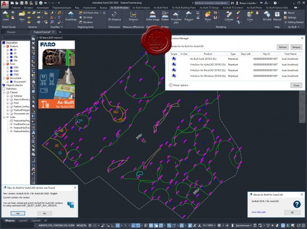
FARO As-Built for AutoCAD 2019.1

The FARO As-Built for AutoCAD is the follow-up product of all PointSense for AutoCAD Products. It contains the functionality of PointSense Pro, Building, Heritage and Plant plus additional features. As-Built for AutoCAD is available in many languages.
As-Built for AutoCAD provides powerful tools to derive plans, image plans and 3D models from point clouds for as-built data collection and planning in architecture, construction and engineering. Plant components and piping systems can be automatically detected and recorded with all their parameters. Exact connection points can be determined without modeling. Analysis tools serve for quality control of the modeled object as well as for the determination and visualization of deformations. The integrated feature data capture is useful for facility management and real estate management, as well as for component lists from piping systems or for damage mapping on facades of historical buildings. Photogrammetry tools are a valuable addition to the inventory and documentation of historical buildings in particular in historic preservation and building research.
An interface to total stations complements the range of functions and enables the staking out of points from the design into reality. When measuring the total station becomes a 3D mouse. Measurements are transferred directly to AutoCAD.
546MB
*


