Geologynet Field Tools v1.2

The Field Tools Package contains our best dot net
geology field tools for Windows. Three tools have
been combined into one application:
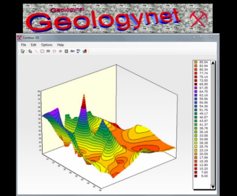
1. Contour3DMS, Contouring and Mapping in 2D and 3D
2. CrossSectionMS, Cross Section plotting application
3. LogPlotMS, for plotting and drawing Drill Logs and Other Logs
Windows XP, Vista, Windows 7, 8
Plot and Draw Drill Hole/Sample Maps, Contour Maps,
Cross Sections and Drill Logs
Read/Write Tab, CSV and Excel Files
Builtin Spreadsheet for Entering and Editing Data
Use Additional Windows Symbol Fonts
Optional Mineral Databases
Core Description Report Templates
Dip Calculator
True Vertical Depth Calculator
Import LAS and Text Data Files for Plotting
Wireline Logs
Plot Wireline Logs as Line, Histogram or Point
Charts
Rock Classification Wizard builtin
Structural/Mapping Symbol Font with Bedding,
Foliation, Fold, Fault, Lineation, Cleavage, Dyke
and Joint Symbols Included
Lithology Pattern Font, Drill Hole Symbol Font
Rotated Symbols
Builtin Pattern Library
Auto or Manual Scales
Drawing and Text Tools Including Line, Box, Filled
Box, Ellipse, Filled Ellipse, Text, Symbol
Choice of Colors, Labels, Symbols and Fonts
Reference Charts Including Map Symbols, Rock Color,
Timescale, Volume Estimation, Grainsize Charts
Printing and Clipboard Support, Print Vector and
Bitmaps
Output to Bitmap or PDF Files plus other formats.
PDF Manual
11MB
Download
http://s19.alxa.net/s8/srvs1/PSD/dlne....2.0.0-DVT.rar