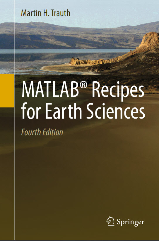
Martin Trauth - MATLAB Recipes for Earth Sciences, 4th Edition - 2015
MATLAB® is used for a wide range of applications in geosciences, such as image processing in remote sensing, the generation and processing of digital elevation models and the analysis of time series. This book introduces methods of data analysis in geosciences using MATLAB, such as basic statistics for univariate, bivariate and multivariate datasets, time-series analysis, signal processing, the analysis of spatial and directional data and image analysis.

The revised and updated Fourth Edition includes sixteen new sections and most chapters have greatly been expanded so that they now include a step by step discussion of all methods before demonstrating the methods with MATLAB functions.
New sections include: Array Manipulation; Control Flow; Creating Graphical User Interfaces; Hypothesis Testing; Kolmogorov-Smirnov Test; Mann-Whitney Test; Ansari-Bradley Test; Detecting Abrupt Transitions in Time Series; Exporting 3D Graphics to Create Interactive Documents; Importing, Processing and Exporting LANDSAT Images; Importing and Georeferencing TERRA ASTER Images; Processing and Exporting EO-1 Hyperion Images; Image Enhancement; Correction and Rectification; Shape-Based Object Detection in Images; Discriminant Analysis; and Multiple Linear Regression.
The text includes numerous examples demonstrating how MATLAB can be used on data sets from earth sciences.
The book’s supplementary electronic material (available online through Springer Link) includes recipes that include all the MATLAB commands featured in the book and the example data
Year: 2015
Author: Martin Trauth
Publisher: Springer
ISBN: 978-3-662-46243-0 (Print)
Language English
Format: PDF
Quality: initially computer (eBook)
Number of pages: 427
Code:
1 Data Analysis in Earth Sciences
1.1 Introduction
1.2 Data Collection
1.3 Types of Data
1.4 Methods of Data Analysis
2 Introduction to MATLAB
2.1 MATLAB in Earth Sciences
2.2 Getting Started
2.3 The Syntax
2.4 Array Manipulation
2.5 Data Structures and Classes of Objects
2.6 Data Storage and Handling
2.7 Control Flow
2.8 Scripts and Functions
2.9 Basic Visualization Tools
2.10 Generating Code to Recreate Graphics
2.11 Publishing M-Files
2.12 Creating Graphical User Interfaces
3 Univariate Statistics
3.1 Introduction
3.2 Empirical Distributions
3.3 Examples of Empirical Distributions
3.4 Theoretical Distributions
3.5 Examples of Theoretical Distributions
3.6 Hypothesis Testing
3.7 The t-Test
3.8 The F-Test
3.9 The χ2-Test
3.10 The Kolmogorov-Smirnov Test
3.11 Mann-Whitney Test
3.12 The Ansari-Bradley Test
3.13 Distribution Fitting
4 Bivariate Statistics
4.1 Introduction
4.2 Correlation Coef iients
4.3 Classical Linear Regression Analysis
4.4 Analyzing the Residuals
4.5 Bootstrap Estimates of the Regression Coef iients
4.6 Jackknife Estimates of the Regression Coef iients
4.7 Cross Validation
4.8 Reduced Major Axis Regression
4.9 Curvilinear Regression
4.10 Nonlinear and Weighted Regression
5 Time-Series Analysis
5.1 Introduction
5.2 Generating Signals
5.3 Auto-Spectral and Cross-Spectral Analysis
5.4 Examples of Auto-Spectral and Cross-Spectral Analysis
5.5 Interpolating and Analyzing Unevenly-Spaced Data
5.6 Evolutionary Power Spectrum
5.7 Lomb-Scargle Power Spectrum
5.8 Wavelet Power Spectrum
5.9 Detecting Abrupt Transitions in Time Series
5.10 Nonlinear Time-Series Analysis (by N. Marwan)
6 Signal Processing
6.1 Introduction
6.2 Generating Signals
6.3 Linear Time-Invariant Systems
6.4 Convolution, Deconvolution and Filtering
6.5 Comparing Functions for Filtering Data Series
6.6 Recursive and Nonrecursive Filters
6.7 Impulse Response
6.8 Frequency Response
6.9 Filter Design
6.10 Adaptive Filtering
7 Spatial Data
7.1 Types of Spatial Data
7.2 The Global Geography Database GSHHG
7.3 The 1-Minute Gridded Global Relief Data ETOPO1
7.4 The 30-Arc Seconds Elevation Model GTOPO30
7.5 The Shuttle Radar Topography Mission SRTM
7.6 Exporting 3D Graphics to Create Interactive Documents
7.7 Gridding and Contouring
7.8 Comparison of Methods and Potential Artifacts
7.9 Statistics of Point Distributions
7.10 Analysis of Digital Elevation Models (by R. Gebbers)
7.11 Geostatistics and Kriging (by R. Gebbers)
8 Image Processing
8.1 Introduction
8.2 Data Storage
8.3 Importing, Processing and Exporting Images
8.4 Importing, Processing and Exporting LANDSAT Images
8.5 Importing and Georeferencing TERRA ASTER Images
8.6 Processing and Exporting EO-1 Hyperion Images
8.7 Digitizing from the Screen
8.8 Image Enhancement, Correction and Rectif cation
8.9 Color-Intensity Transects Across Varved Sediments
8.10 Grain Size Analysis from Microscope Images
8.11 Quantifying Charcoal in Microscope Images
8.12 Shape-Based Object Detection in Images
9 Multivariate Statistics
9.1 Introduction
9.2 Principal Component Analysis
9.3 Independent Component Analysis (by N. Marwan)
9.4 Discriminant Analysis
9.5 Cluster Analysis
9.6 Multiple Linear Regression
10 Directional Data
10.1 Introduction
10.2 Graphical Representation
10.3 Empirical Distributions
10.4 Theoretical Distributions
10.5 Test for Randomness of Directional Data
10.6 Test for the Signif cance of a Mean Direction
10.7 Test for the Dif erence between Two Sets of Directions
18MB
Download
*