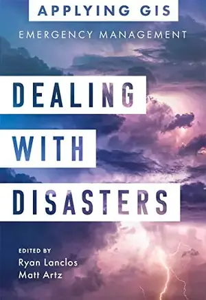
Dealing with Disasters: GIS for Emergency Management (Applying GIS Book 2)
Discover a modern approach to understanding threats and hazards that are more complex, costly, and devastating than ever before.

Agencies around the world rely on geographic information systems (GIS) every day to plan for and mitigate complicated threats and hazards and coordinate emergency response and recovery efforts. Location intelligence provides the kind of deep, real-time data insights needed for managers, directors, and other decision-makers to analyze risk, gain situational awareness, and manage tomorrow’s emergencies.
Dealing with Disasters: GIS for Emergency Management explores a collection of real-life case studies about emergency management agencies successfully using GIS for real and potential hazards. Chapters are laid out to explore three primary areas of disaster management:
Preparedness: To effectively reduce risks, emergency management professionals must incorporate real-time data, big data, and other critical data feeds into their analysis. Learn how organizations spanning from Arizona to Taiwan use data-driven insights to effectively prepare for worst-case scenarios.
Response: Emergency management professionals must become more agile and informed at all points during response efforts. Find out how the US National Park Service, the Puerto Rico Emergency Operations Center, and others have successfully responded to growing threats that require agility and effective communication to save lives and property.
Recovery: Recovery efforts can take years, and it's critical to avoid missteps that delay progress. See how tools like drones help refugees; imagery helps insurance companies; and maps help post-tornado efforts while aiding in prioritizing work and delivering on every recovery dollar invested in a community.
English | 2021 | ISBN: 9781589486409 | 183 pages | True EPUB | 9.16 MB
Download
*
Discover a modern approach to understanding threats and hazards that are more complex, costly, and devastating than ever before.

Agencies around the world rely on geographic information systems (GIS) every day to plan for and mitigate complicated threats and hazards and coordinate emergency response and recovery efforts. Location intelligence provides the kind of deep, real-time data insights needed for managers, directors, and other decision-makers to analyze risk, gain situational awareness, and manage tomorrow’s emergencies.
Dealing with Disasters: GIS for Emergency Management explores a collection of real-life case studies about emergency management agencies successfully using GIS for real and potential hazards. Chapters are laid out to explore three primary areas of disaster management:
Preparedness: To effectively reduce risks, emergency management professionals must incorporate real-time data, big data, and other critical data feeds into their analysis. Learn how organizations spanning from Arizona to Taiwan use data-driven insights to effectively prepare for worst-case scenarios.
Response: Emergency management professionals must become more agile and informed at all points during response efforts. Find out how the US National Park Service, the Puerto Rico Emergency Operations Center, and others have successfully responded to growing threats that require agility and effective communication to save lives and property.
Recovery: Recovery efforts can take years, and it's critical to avoid missteps that delay progress. See how tools like drones help refugees; imagery helps insurance companies; and maps help post-tornado efforts while aiding in prioritizing work and delivering on every recovery dollar invested in a community.
English | 2021 | ISBN: 9781589486409 | 183 pages | True EPUB | 9.16 MB
Download
*