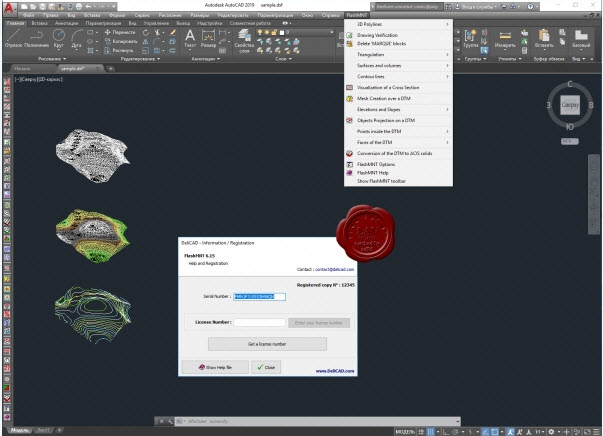
FlashMNT is a tool that allows the creation of a Digital Terrain Model and 3D computations. From points and/or breaklines, create a DTM, then use the various fonctions of FlashMNT to apply a mesh, color a DTM by altitudes, compute cut and fill quantities, vizualise cross sections of the terrain, calculate areas and volumes, etc. FlashMNT is fast and can triangulate millions of points (about 100.000 points/second)
DeliCAD FlashMNT v6.15

7MB
Download
*
DeliCAD FlashMNT v6.15

7MB
Download
*
